Technical Sheet
Start and Arrival: Amelia
Distance: 30 km
Height difference: 950 metres
Difficulty: medium-hard
Surface: 90% dirt, 10% sealed
What to see: Amelia, Narni, Porchiano, Lugnano in Teverina, Collicello
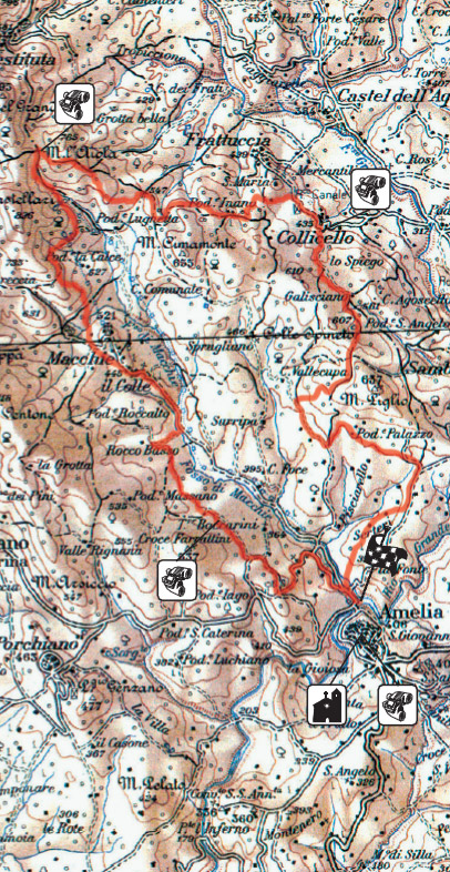
This route starts from Rio Grande Park, about two kilometres from the centre of Amelia, and immediately starts climbing towards Cappuccini and Sambucetole through beautiful, untouched natural scenery.
It is 30kms long, and the continual climbs and descents and a rather rough surface in some places (especially along the first climb) make it suitable for reasonably fit, experienced bikers.
Less experienced bikers can also try it, but they will have to save their energy to avoid being exhausted at the end, and will have to dismount and walk in some parts. They will be helped by the fact that the last 13 kilometres are almost all downhill.
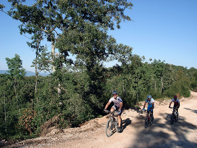
From the Rio Grande Park the trail goes to Sambucetole, leaving the sealing immediately and climbing up a steep track on the left. It briefly returns to the sealing at km 1,3, then, at km 1,6 it turns off to the left into a hilly dirt road through the woods with beautiful views of Amelia.
At km 4,9, at a shrine with a statue of the Madonna, it turns right , then right again at km 5,8, where it starts the first real climb of the trail, which is difficult because of the rough surface reducing grip.
The climb ends at km 7,7 where the trail starts descending towards the picturesque village of Collicello (km 10,6), where water bottles can be filled at a fountain just after the village gateway.
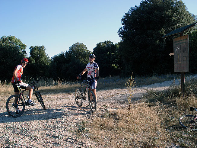
From here it turns left to Frattuccia and begins the second (and the longest) climb along the route, which ends at km 17,2. Here, at a clearing in the woods where several dirt tracks meet, it follows the first track into the woods on the left, and goes downhill following a wooden signpost indicating Macchie. At this stage, the most difficult part of the route is practically over, as from here on it is nearly all downhill to Amelia.
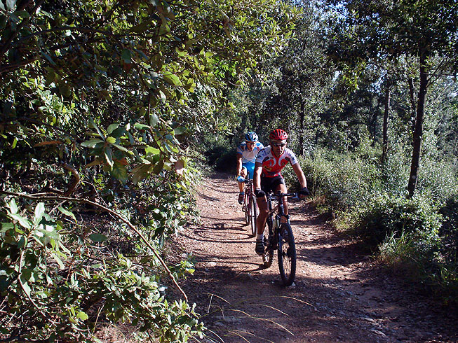
The descent is fast and good fun, but the first kilometre requires care because it is rather uneven and the shadow created by the trees limits visibility.
At km 22 the trail arrives at the tiny village of Macchie, where it continues along sealed road for about a kilometre before turning right at km 23,5 into dirt road towards the agriturismo “Rocco Basso”.
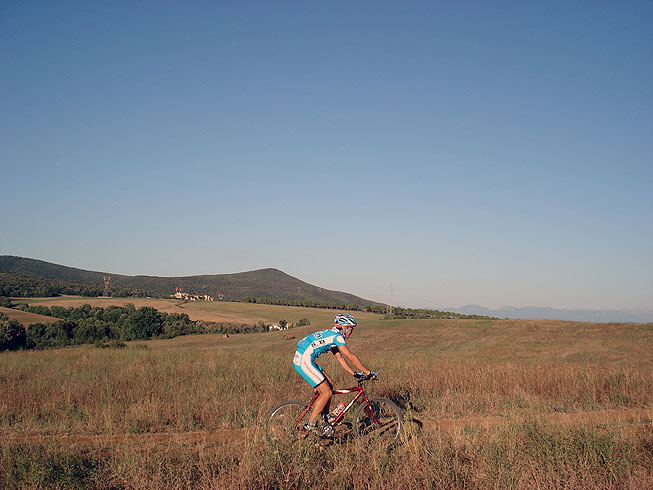
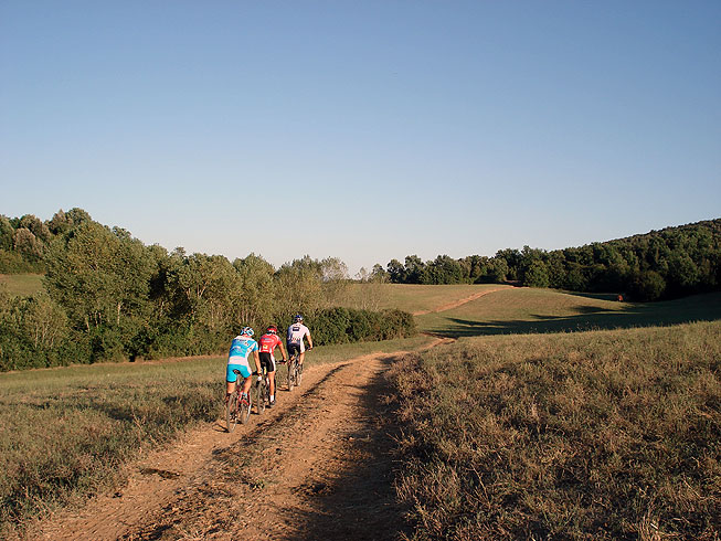
It continues across a plateau for another few kilometres with a wonderful ride through fields and meadows, then goes through the “Cavallerizza” woods before descending again to the Rio Grande Park, where the trail through the Amerino woods ends.
Things not to miss
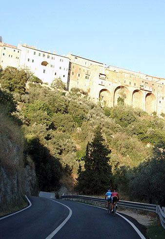
Amelia, starting point for this route, is one of the most interesting historical centres of Umbria: inside its polygonal walls, the most important buildings are the Cathedral, the San Magno monastery, the churches of San Francesco, S. Agostino and the country church of Madonna delle Cinque Fonti, where, according to legend, St.Francis stayed. The fifteenth century palazzo Nacci, the sixteenth century Farrattini and Petrignan palaces , the Torre Civica, symbol of civic freedom, and the lovely 18th century theatre , are also worth a visit.
Don’t miss the surrounding countryside, where the route passes, with its fields and gentle hills covered by evergreen oaks and Mediterranean macchia.
Clinging to these hills are the medieval fortified villages of Giove, Penna in Teverina, Lugnano in Teverina and Porchiano and the hamlets of Collicello, Sambucetole and Macchie, all of which are worth seeing.