Technical Sheet
Start and arrival: Castelluccio di N.
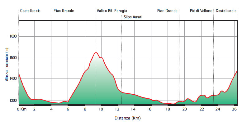
Distance: 26 km
Height difference: 450 metres
Difficulty: medium/ easy
Surface: 55% dirt, 45% sealed
What to see: Castelluccio di Norcia, Norcia, Monte Vettore, Monti Sibillini National Park
This magnificent route begins at the village of Castelluccio di Norcia, a small hamlet set in the midst of the untouched nature of the Sibillini National Park, passing through unforgettable scenery in a unique atmosphere.
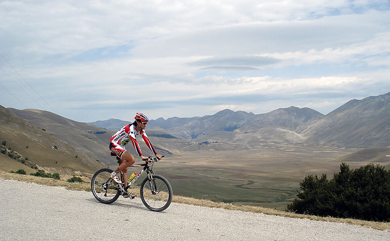
The route is not particularly difficult, having only 450 metres height difference along mainly sealed surfaces, and it gives everyone an opportunity to enjoy the beauty of the area while pedalling through fields and meadows at the foot of majestic Mt. Vettore.
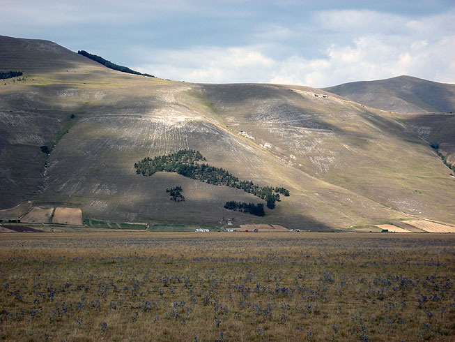
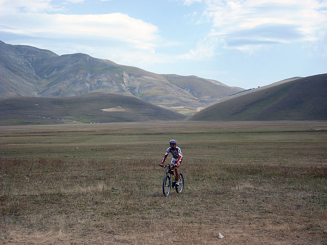
Starting from the centre of Castelluccio, the trail descends the sealed road towards Pian Grande (photo on left), following the signposts to Norcia. After crossing the whole of the plain of Pian Grande, at 5,9kms the trail begins to climb towards Rifugio Perugia, the toughest part of the whole round trip.
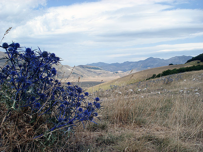
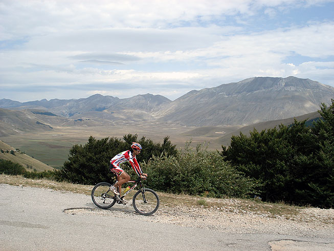
The climb ends at 9,2 km, where the trail turns left off the main road: a stop here is must to be able to enjoy the splendid view to the left over the Pian Grande, Castelluccio and Mt. Vettore (photo top right).
After a few metres in descent to 9,6 km , the trail then turns left onto a dirt road. At km10, it goes downhill towards Pian Perduto (be careful over the stoney stretches), keeping left towards Mt. Vettore.
Past the Fonte Vetica fountain (km 13,8) the trail turns left to the Pian Grande, where hang gliders and parasailers train with instructors from the European School of Free Flight.
Back on the sealing, the trail turns right towards Ascoli Piceno and at km 21,3, just before the climb up to Forca di Presta, it returns to dirt road, on the left.
Leaving Mt. Vettore to the right, at km 22,7 the trail continues along the third road to the right at a crossroads, going around the Castelluccio hill. At km 24,7, it turns left onto the sealed road and climbs back up to the centre of Castelluccio, where a taste of the delicious local cheeses, lentils, hams and salamis is a must.
Things not to miss
The route runs through the heart of the Sibillini National Park, a true paradise for nature-lovers. The highest peak of the Park is Mt. Vettore (2.476m a.s.l.), which is right in front of Castelluccio di Norcia, start of the trail.
Castelluccio is an old village dominating the valleys of Pian Grande, Pian Piccolo and Pian Perduto, a group of altipianos which is quite unique in its kind, offering breathtaking views over the untouched nature around it and infinite opportunities for walking and mountain biking.
A few kilometres from Castelluccio is, the town of St. Benedict, Norcia, where spirituality, the beauties of nature and art, and the pleasures of good food combine. Because of its rich artistic, environmental and cultural heritage, Norcia has been included in the “Most Beautiful Villages of Italy” club.